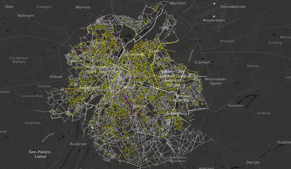
EqualStreetNames mapped the gender gap hidden in our cities. Using open data from OpenStreetMap and Wikidata, the project visualised which streets were named after women and which after men — making a striking inequality visible at a glance.
What began in Brussels grew into an open-source toolkit that communities across Europe used to build their own EqualStreetNames maps — a clear example of how open knowledge could turn public data into a conversation about equality in the places we live.